


The Big Dawg Weather Blog is presented by:

An Arctic cold front is expected to move into the Ohio Valley sometime Thursday. This front will bring much colder temperatures and windy conditions, making for dangerously cold wind chills. In addition, there is increasing confidence in snow moving into the region Thursday, possibly impacting holiday travel plans.
There is still no reason to get too excited just yet because we are still 5-6 days away; however, the threat of accumulating snowfall across our area for next week is increasing.
Below are my latest thoughts:
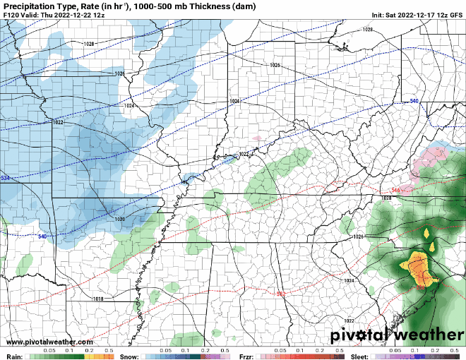
GFS Forecast Model
The latest update from the GFS model has shifted the storm to the Northwest, which also shifts the heaviest snow into Indiana. However, it still gives our area a decent snowfall by the end of the week.
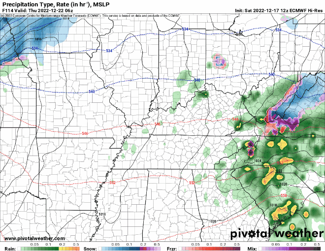
EURO Forecast Model
The European model has the right overall theme but is weaker and much further north. This would only give our area an inch or two.
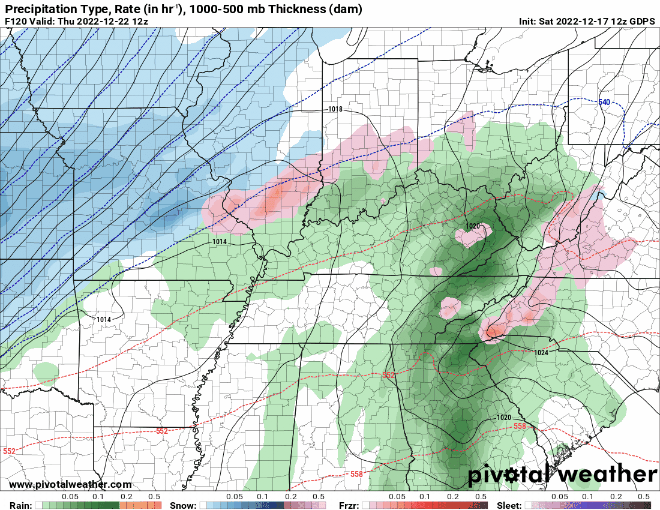
Canadian Forecast Model
The Canadian model is similar to the GFS and gives our area several inches.
Bottom Line
We will have a decent idea of what to expect from this storm system by Monday—accumulating snow just before Christmas is a good bet, with heavy snow potentially on the table. There are still a TON of details that need to be resolved, so let's continue to monitor the latest trends and stay calm.
Ill keep you all up to date with the latest, enjoy the evening!
.png)