


The Big Dawg Weather Blog is presented by:
.PNG)
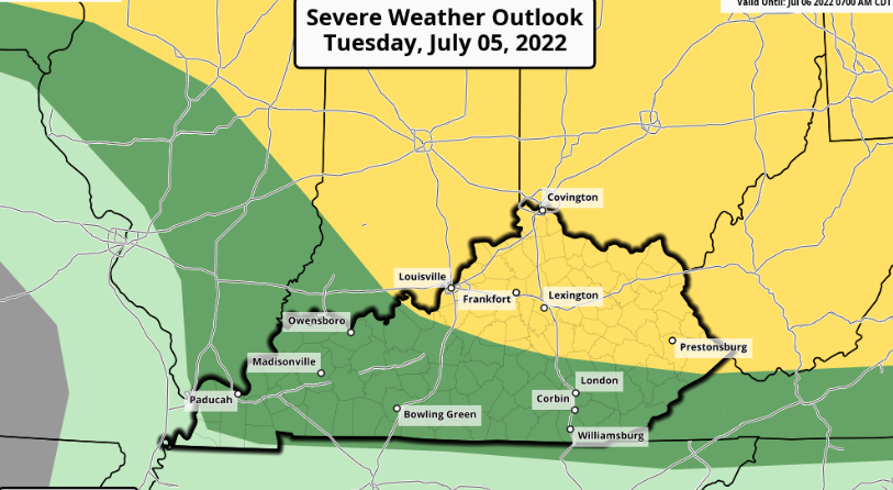
Thunderstorms will be possible for much of this week, especially in the afternoon and evening. The main threats will be torrential rainfall, locally gusty winds, and lightning. The Storm Prediction Center has placed our area in a Marginal Risk (Level 1/5) for severe weather tomorrow and a Slight Risk (Level 2/5) for Wednesday. In addition to the storm chances, a combination of heat and humidity will create heat indices rising above 100 degrees, mainly from Tuesday through Thursday. As always, we will be watching things closely here in the Big Dawg Weather Center and will keep you updated with the latest.
SPC Severe Weather Outlook for Tuesday
SPC Severe Weather Outlook for Wednesday
.PNG)
Drought Information
.PNG)
Rainfall Potential Next 84 Hours
.PNG)
.png)