


The Big Dawg Weather Blog is presented by:
- A-Plus Comfort Care
- Central Ky Construction & Concrete
- Razed Right Barbershop
- Insulation Solutions of Ky
.PNG)
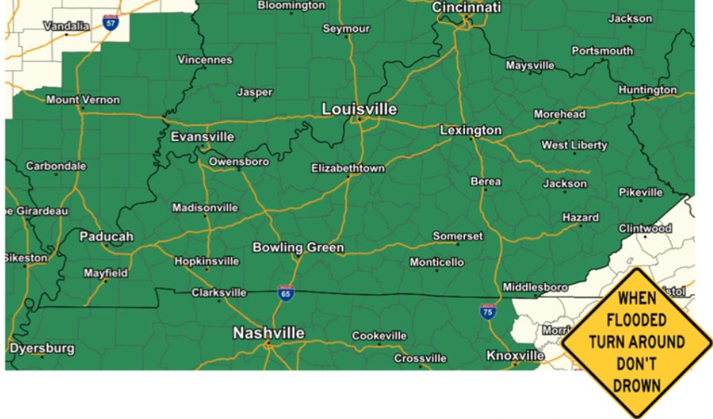
Happy Monday, Folks! Our active weather week is about to get underway tonight, where widespread moderate to heavy rainfall is expected late tonight through Tuesday evening. Rainfall amounts of 2 to 3 inches will likely result in flooding of low-lying areas, small streams, and eventual river flooding. The National Weather Service has issued a Flood WATCH for the entire state.
FLOOD WATCH
In Addition to our flooding threat, A few strong to severe storms are also possible on Tuesday afternoon, mainly in south-central Kentucky. Damaging winds and isolated spin-up tornadoes are the primary severe weather threats. The Storm Prediction Center has placed Western Kentucky in a SLIGHT risk for severe weather, which means scattered severe storms are possible. Much of Central Kentucky remains in a MARGINAL risk, which means isolated severe storms possible.
.PNG)
Another round of heavy rainfall will impact the state Wednesday night through Friday, with 1-3 inches of additional rain expected. This will likely add to additional flooding issues. Another Storm system is possible on Sunday, which could bring some light accumulating snow to the area.
.PNG)
Ill keep you updated with the latest information, stay tuned!
.png)